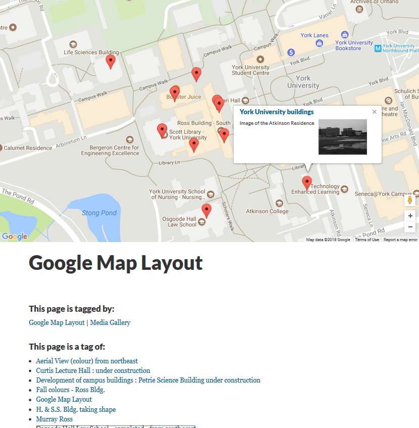
The Google map layout displays multiple media files on a map, according to location. Media content on the map will display a thumbnail, link, and title.
To include media content on the map, either of the following geospatial metadata terms must be assigned to the file: dcterms:coverage or dcterms:spatial in format: decimal latitude, decimal longitude
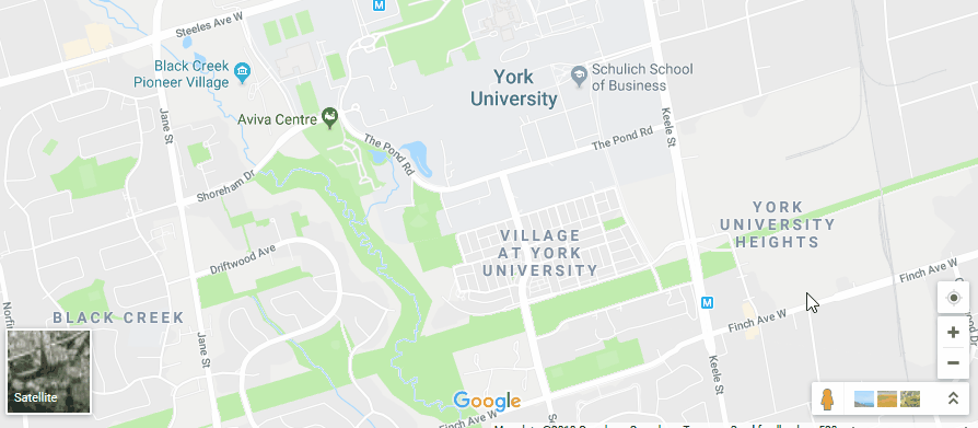
To measure the geospatial coordinates of a location, left click on the location in Google Maps. The coordinates should appear along the bottom of the map.
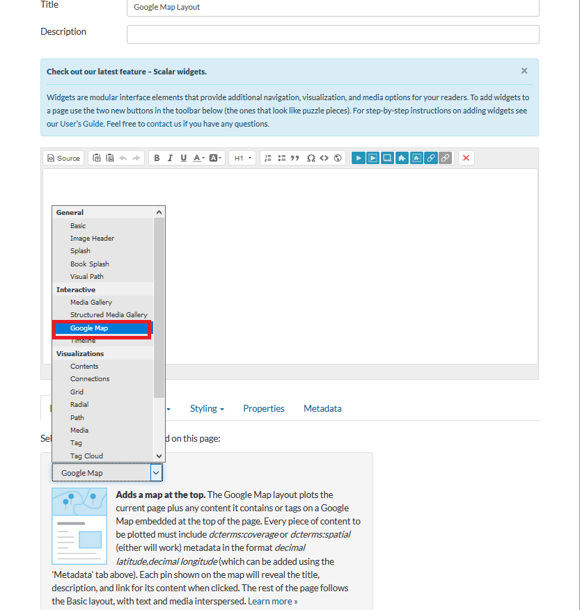
Create a new page, then select Google Map from the Layout drop down.
Any media files you wish to tag in the map must contain the coordinates you found earlier. To add the coordinates to the media, navigate to the Dashboard, then select the Media tab. Click on the media object you wish to add location information to, then click on the Edit (pencil) icon. Select the Metadata tab and click Add additional metadata. Select dcterms:spatial from the pop-up and fill in the coordinates.
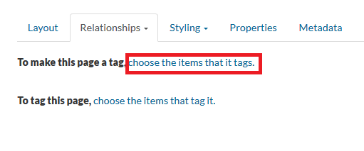
The rest of the steps are similar to those described in the Tags section. Select Tag in the Relationships drop down. Next, select To make this page a tag to choose the media files that tag the current page.
The Select Content window displays content items. Filter by media. Select media files, then Add selected, then Save & View.